Professional Volumetric & Stockpile Scanning
Defensible volume numbers for stockpiles, excavations, and earthworks — accurate within 1–2% — to settle billing, inventory, and progress disputes for good.
TL;DR: LiDAR-derived volume calculations accurate within 1–2% (±3% verified against weight tickets), captured without disrupting operations — for stockpiles, excavations, and earthwork progress payments.
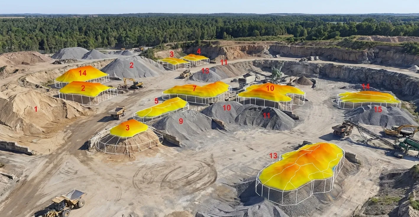
Volumetric & Stockpile Scanning, explained simply
We scan your stockpile, excavation, or material site with 3D LiDAR. Software then calculates exact volumes from millions of measured surface points — no GPS sticks, no spreadsheet guesses, no rounding errors.
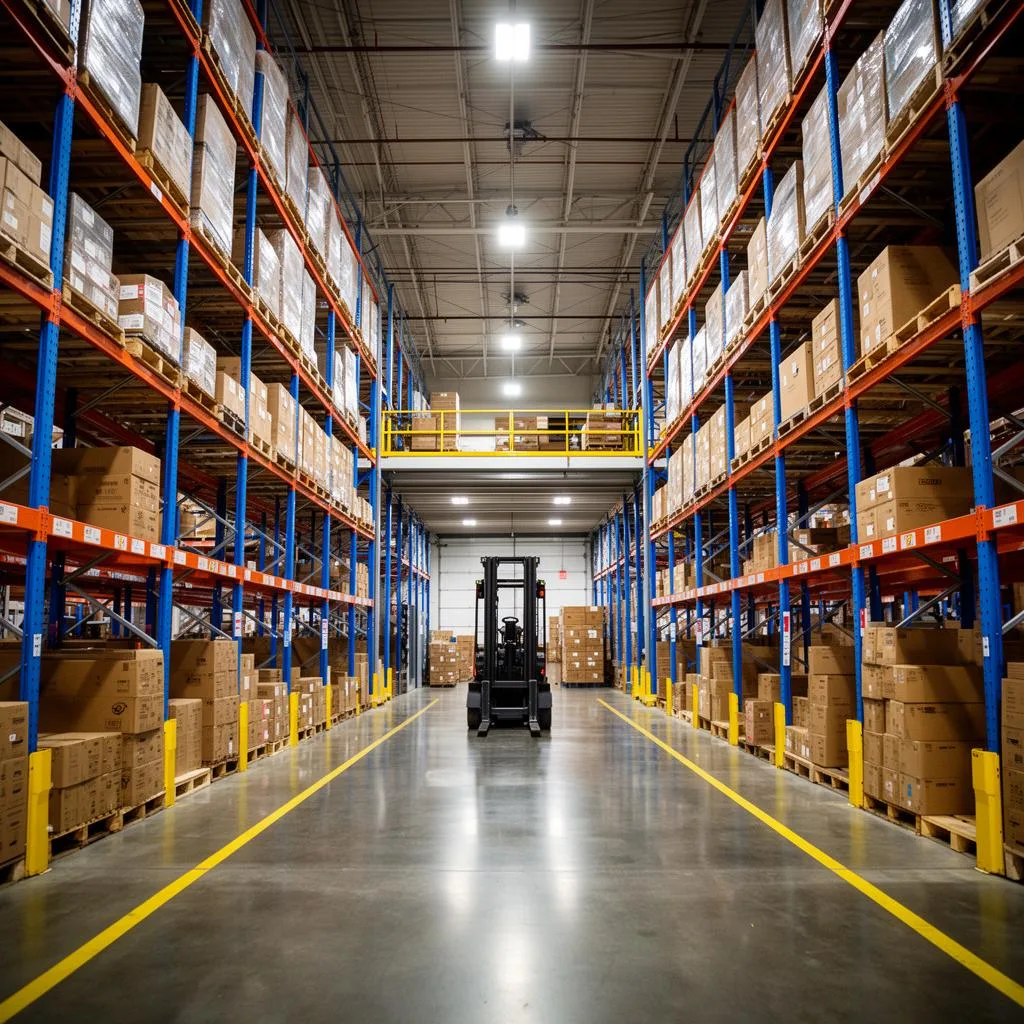
±5mm accuracy, NavVis VLX3 mobile LiDAR
Real impact on AEC project outcomes
Accurate material accounting
Reduce inventory disputes
Track project progress
Verify contractor quantities
Improve cost control
Historical documentation
From kickoff to delivery in 4 clear steps
Site Assessment
We evaluate your site and measurement requirements.
3D Scanning
Complete capture of stockpiles or excavation areas.
Analysis
Volume calculations and comparison reports are generated.
Reporting
Detailed reports with visualizations delivered.
Built for teams that can't afford guesswork
- Aggregate, mining, and quarry operators
- GCs tracking earthwork progress and pay quantities
- Material suppliers verifying inventory for accounting
- DOTs and civil engineers monitoring cut/fill
- Auditors and insurers needing defensible quantities
Stop losing time and money to bad data
- ✗Inaccurate stockpile volume estimates
- ✗Inventory write-offs at fiscal year-end
- ✗Disputes between owner and contractor over earthwork pay
- ✗Slow, dangerous manual surveys on active sites
- ✗No historical record of material movement
Specific deliverables, in formats your team already uses
Aggregate yard — quarterly stockpile audit
An Ohio aggregate producer was losing accuracy on their stockpile inventory and getting flagged in audits for material variances.
We set up a quarterly drone + ground-LiDAR scanning program. Inventory variance dropped from ±8% to under ±1.5%, and the audit findings cleared.
Volumetric & Stockpile Scanning FAQ
Common questions about our volumetric scanning services
Industries We Serve
See how volumetric scanning benefits different industries
Complete Guide to Volumetric & Stockpile Scanning
Volumetric scanning uses 3D laser scanning technology to calculate precise volumes of stockpiles, excavations, and containers. This application of reality capture provides significant value for construction, mining, aggregate, and materials handling industries where accurate quantity measurement impacts financial decisions. ZEALOT Reality Capture delivers volumetric scanning services with accuracy that exceeds traditional survey methods.
Traditional volume measurement relies on sampling a limited number of survey points and interpolating the surface between them. This approach introduces significant error, particularly for irregularly shaped stockpiles. Volumetric scanning captures millions of surface points, accurately representing the actual pile shape and calculating volume with precision typically within 1-2% of true quantity.
Our volumetric scanning services support multiple business applications. Inventory management teams use scanning to verify material quantities for accounting and planning. Construction managers track cut and fill volumes to monitor earthwork progress. Purchasing departments verify delivered quantities against invoiced amounts. The comprehensive data from volumetric scanning provides defensible documentation for any application.
ZEALOT Reality Capture delivers volumetric scanning as a single measurement or recurring service. Many clients establish regular scanning schedules—weekly, monthly, or quarterly—to track inventory changes over time. Repeated scans enable calculation of material additions, removals, and net changes, providing complete visibility into material flows and inventory positions.
From aggregate stockpiles to construction excavations, our volumetric scanning services adapt to any measurement need. We provide detailed reports including volume calculations, surface area measurements, elevation maps, and comparative analysis between scans. Contact us for a free consultation about how volumetric scanning can improve accuracy and reduce disputes in your material measurement applications.