
Build From Reality, Not Guesswork.
Survey-grade 3D laser scanning, Scan to BIM, and as-built CAD — delivered in days, accurate to ±5 mm.
Stop chasing field measurements. Start designing, bidding, and building with confidence.
⚡ 24-hour quote turnaround · No-obligation scope review
Get Your Free Project Quote
Reply within 24 hours · No sales pressure
Trusted by leading AEC teams
Nationwide Reality Capture Company for Accurate As-Built Solutions
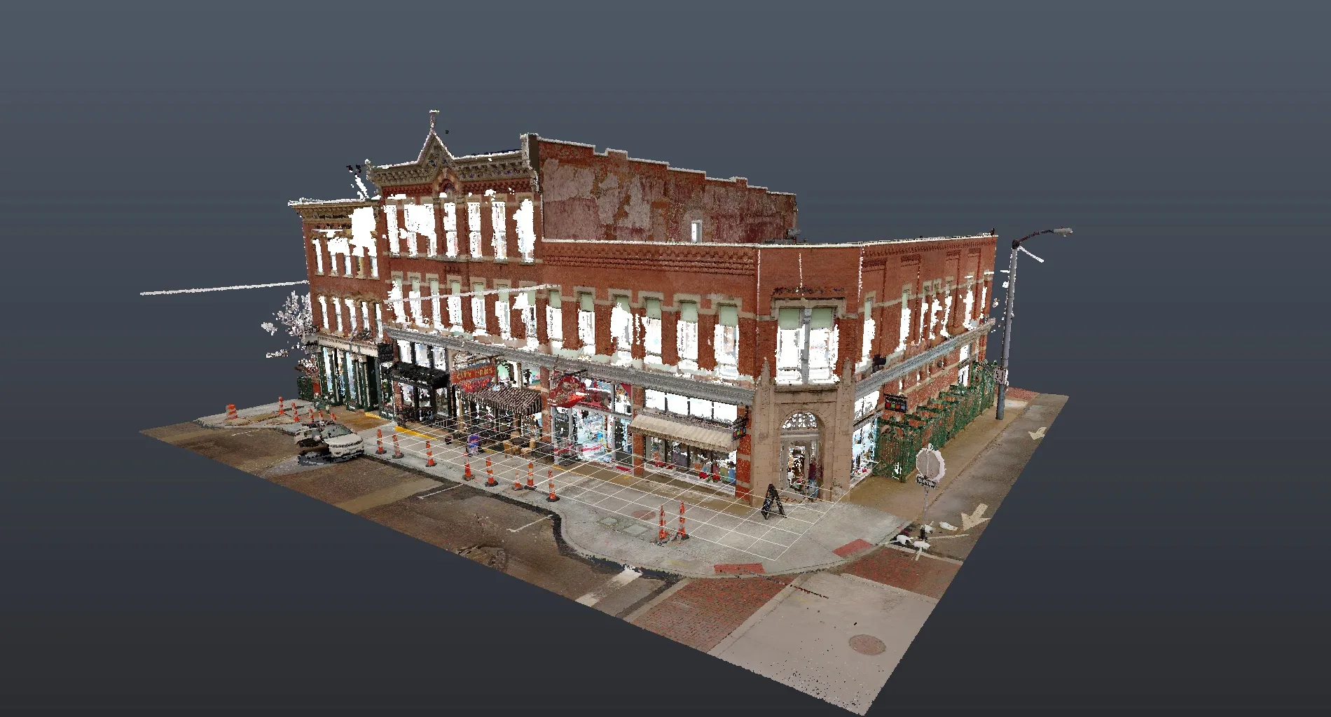
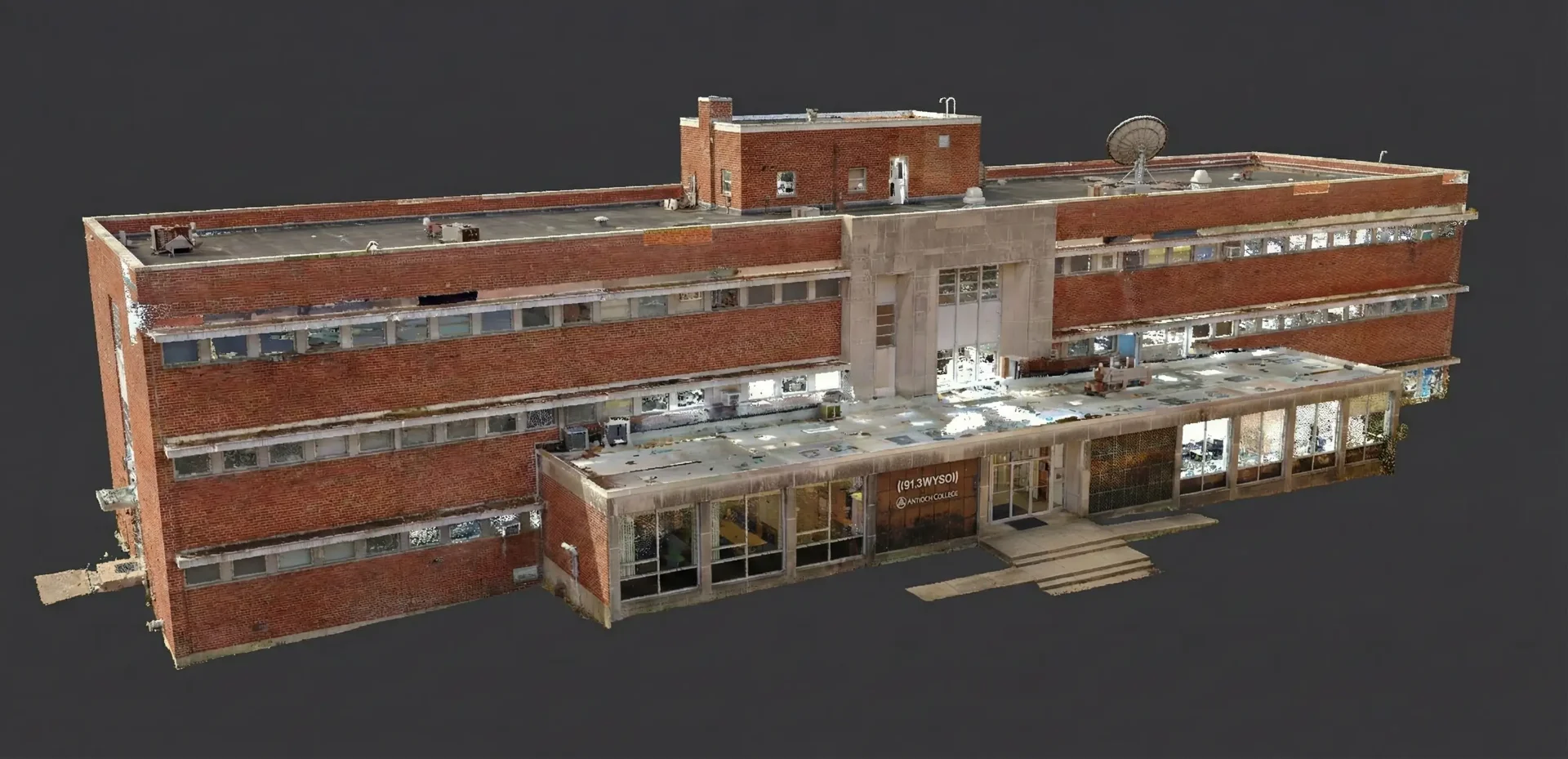
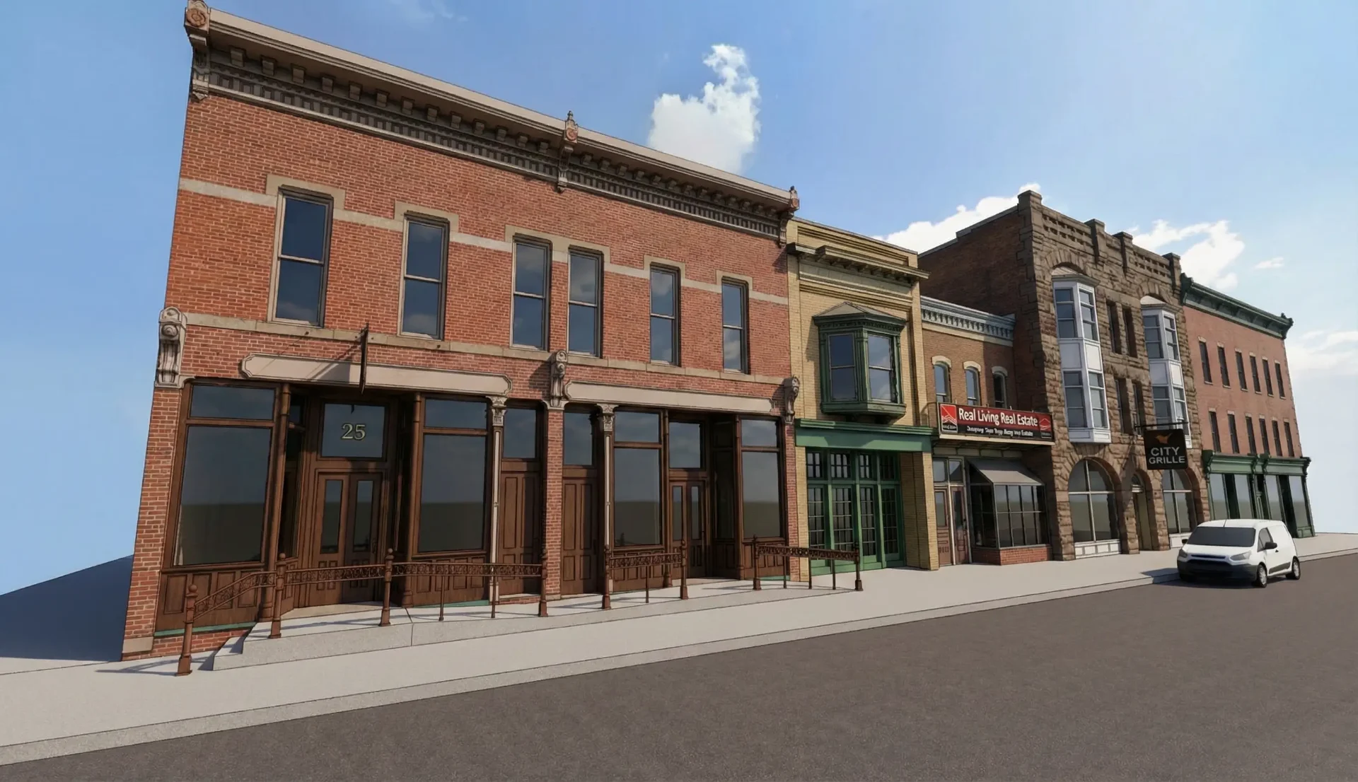
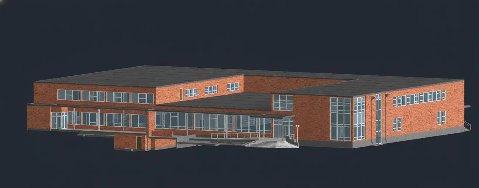
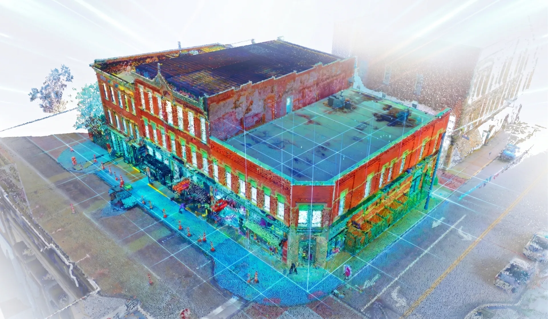
At ZEALOT Reality Capture, we provide nationwide 3D laser scanning services across the United States, converting real-world structures into accurate digital assets. Our team brings Leica RTC360, P-Series, NavVis VLX, and drone-based LiDAR systems directly to your site.
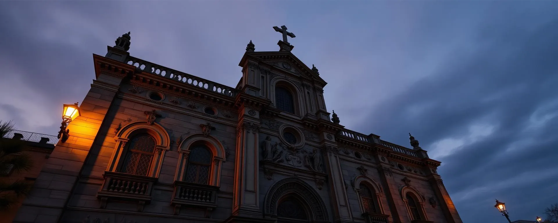
Our expertise covers a wide range of facilities, from industrial plants, refineries, and manufacturing sites to commercial buildings, hospitals, universities, government infrastructure, bridges, roads, and heritage landmarks. For complex sites, we enhance the capture process with digital 360 imaging photogrammetry which helps record areas with rich visual detail and texture.
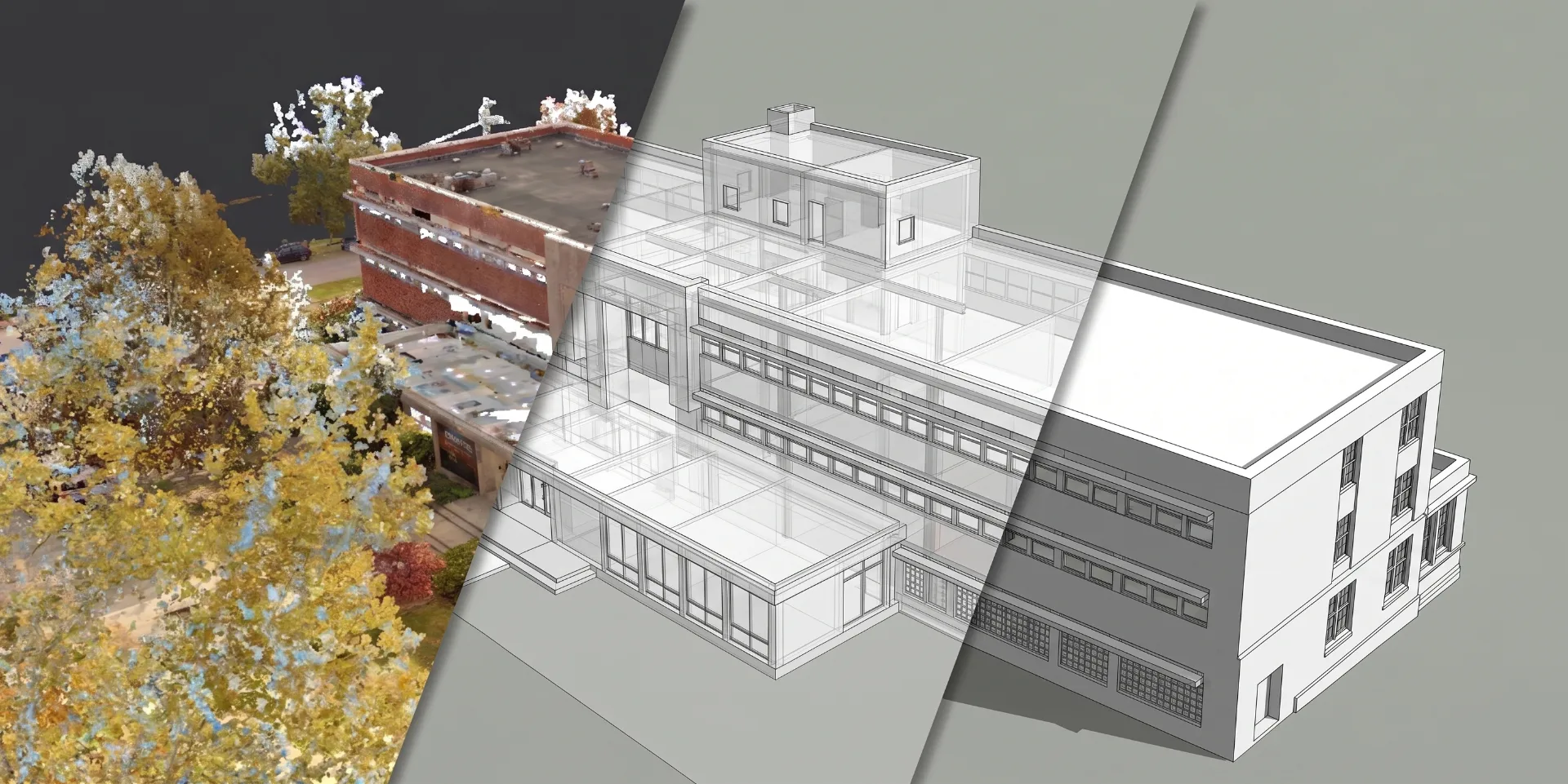
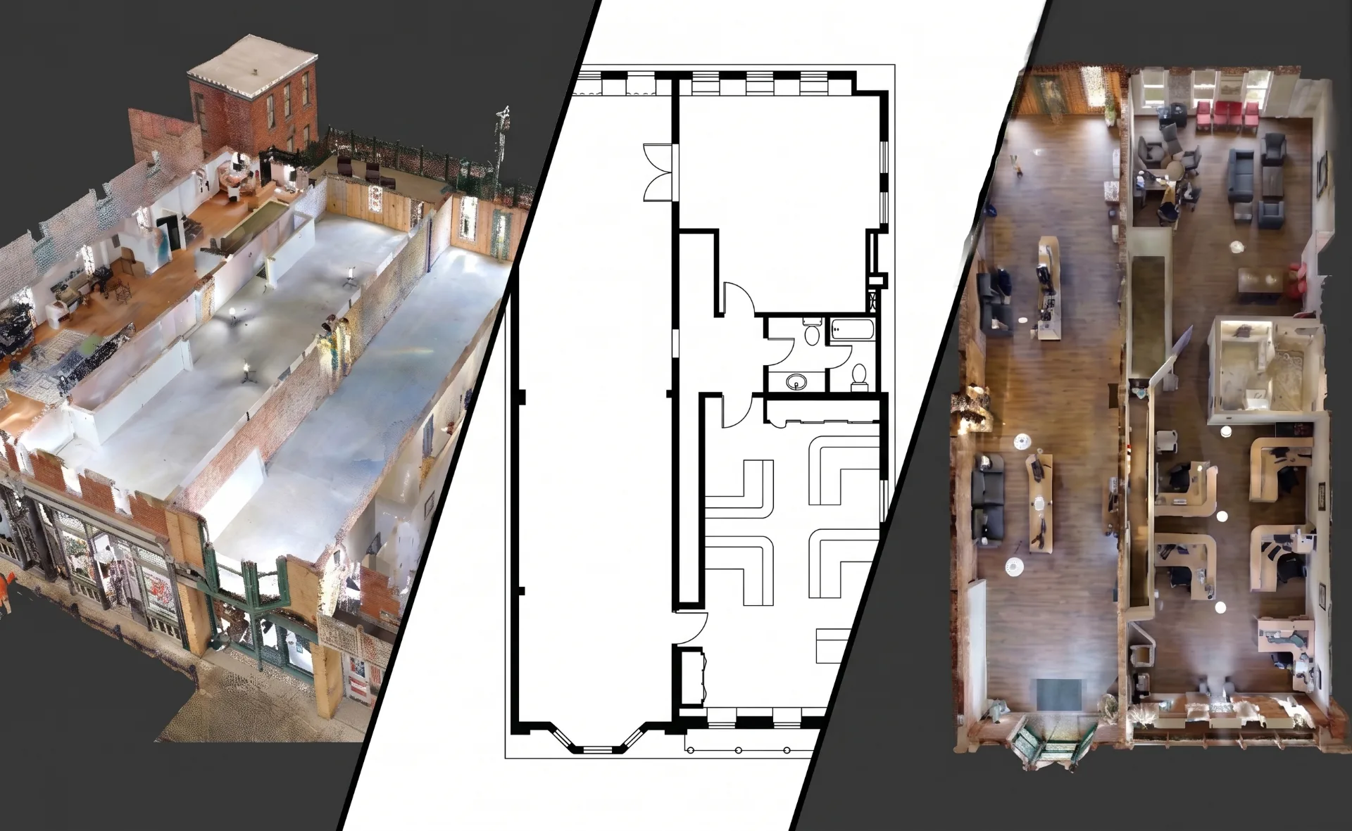
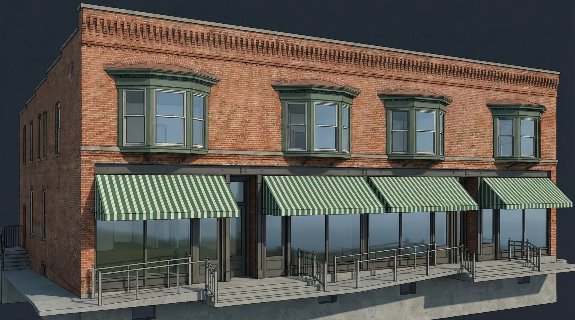
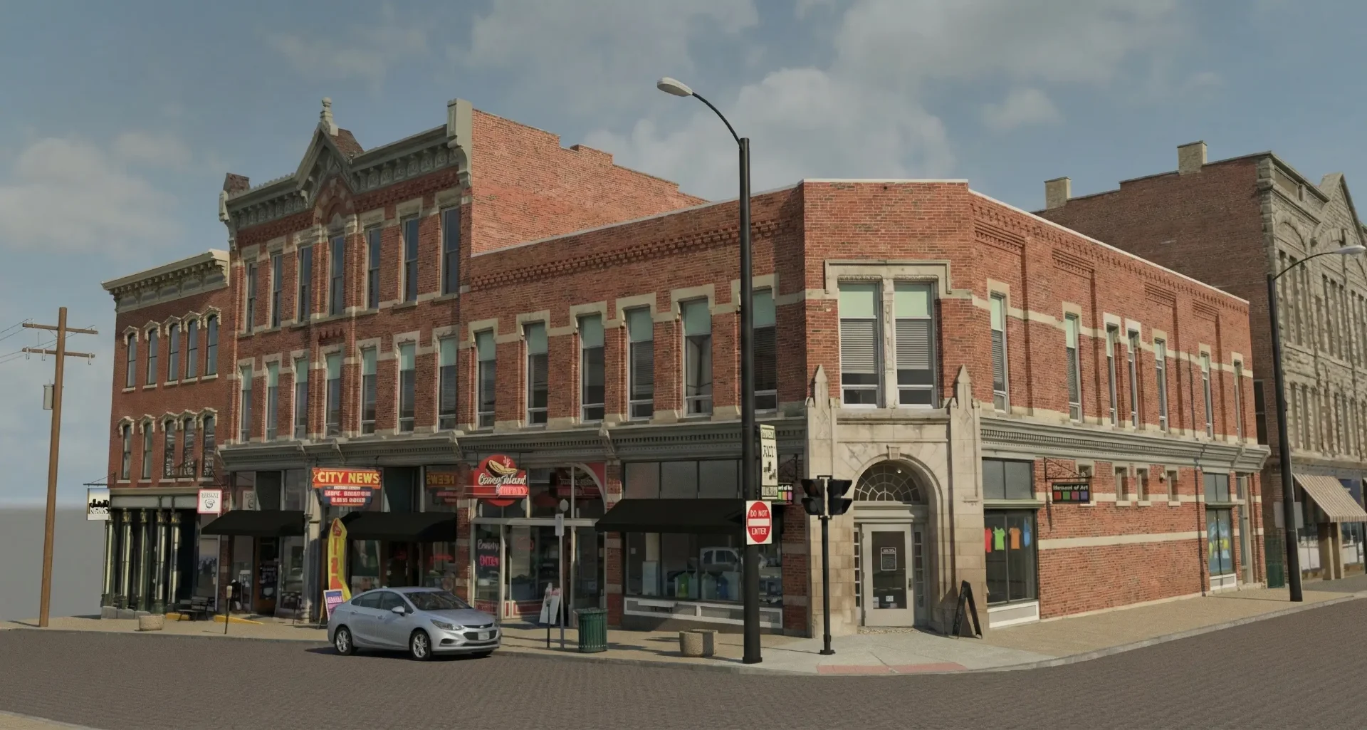
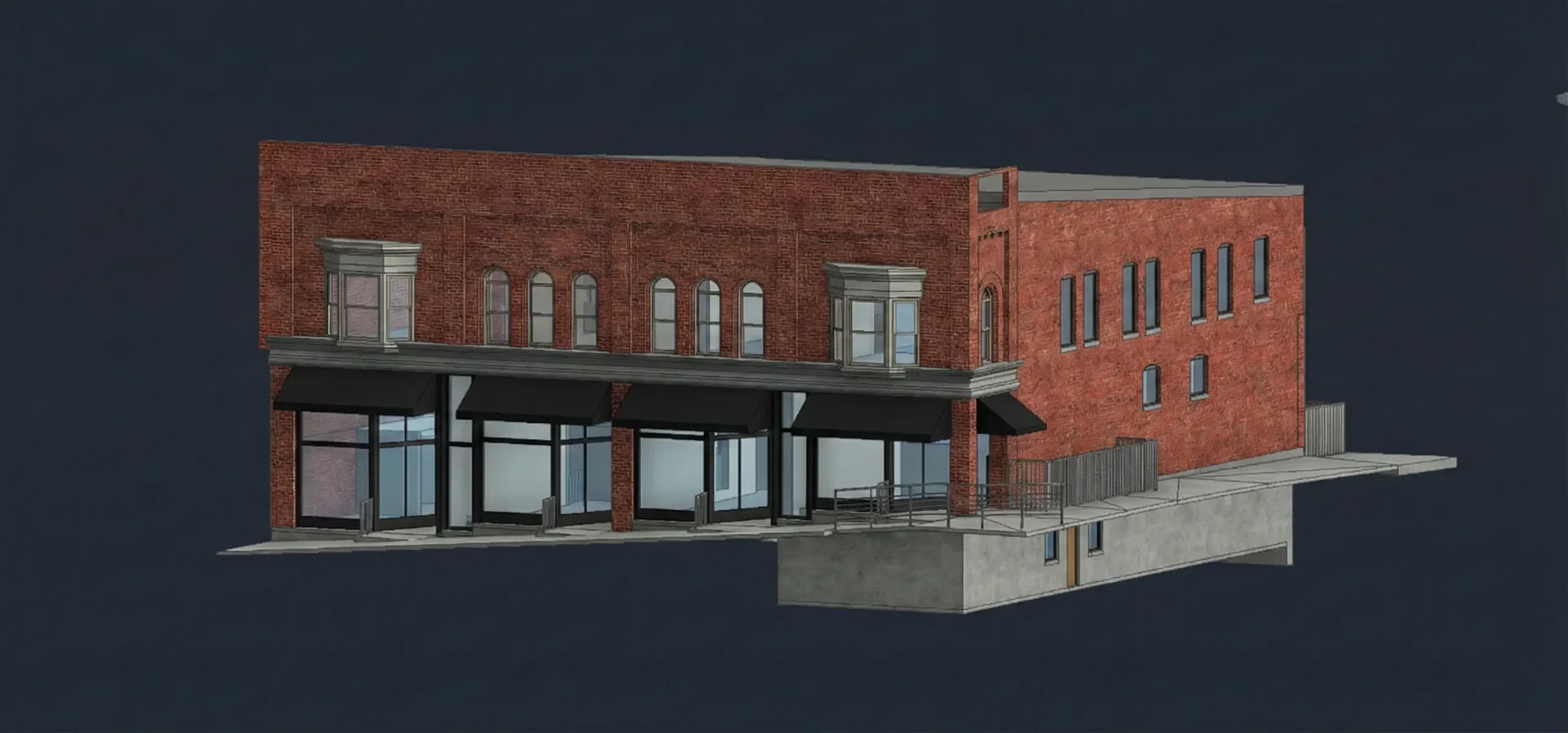
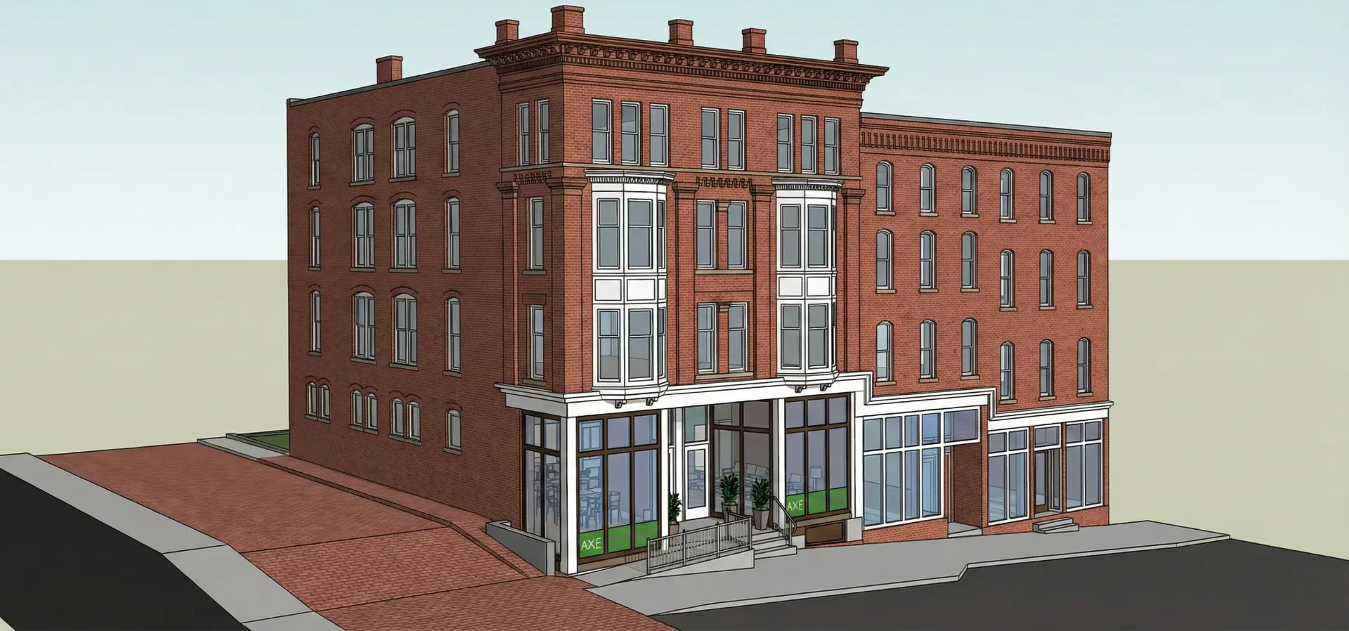
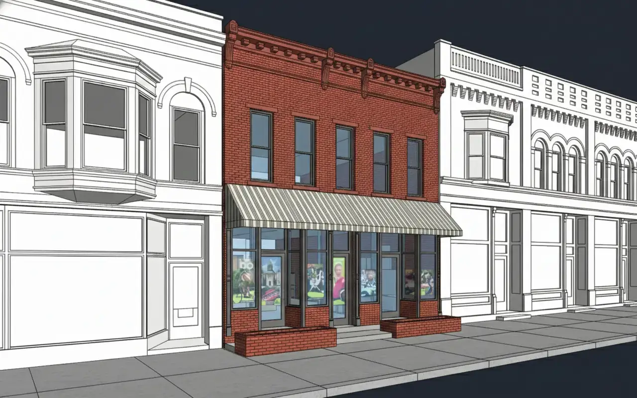
The data we capture is delivered as point clouds, Revit models (LOD 100-500), CAD floor plans, sections, elevations, and interactive digital twins. These assets streamline design and engineering workflows, cut down costly site revisits, and enable better coordination across teams.
Reality Capture That Pays for Itself
Fifteen end-to-end services built to cut rework, accelerate design, and de-risk every project phase.
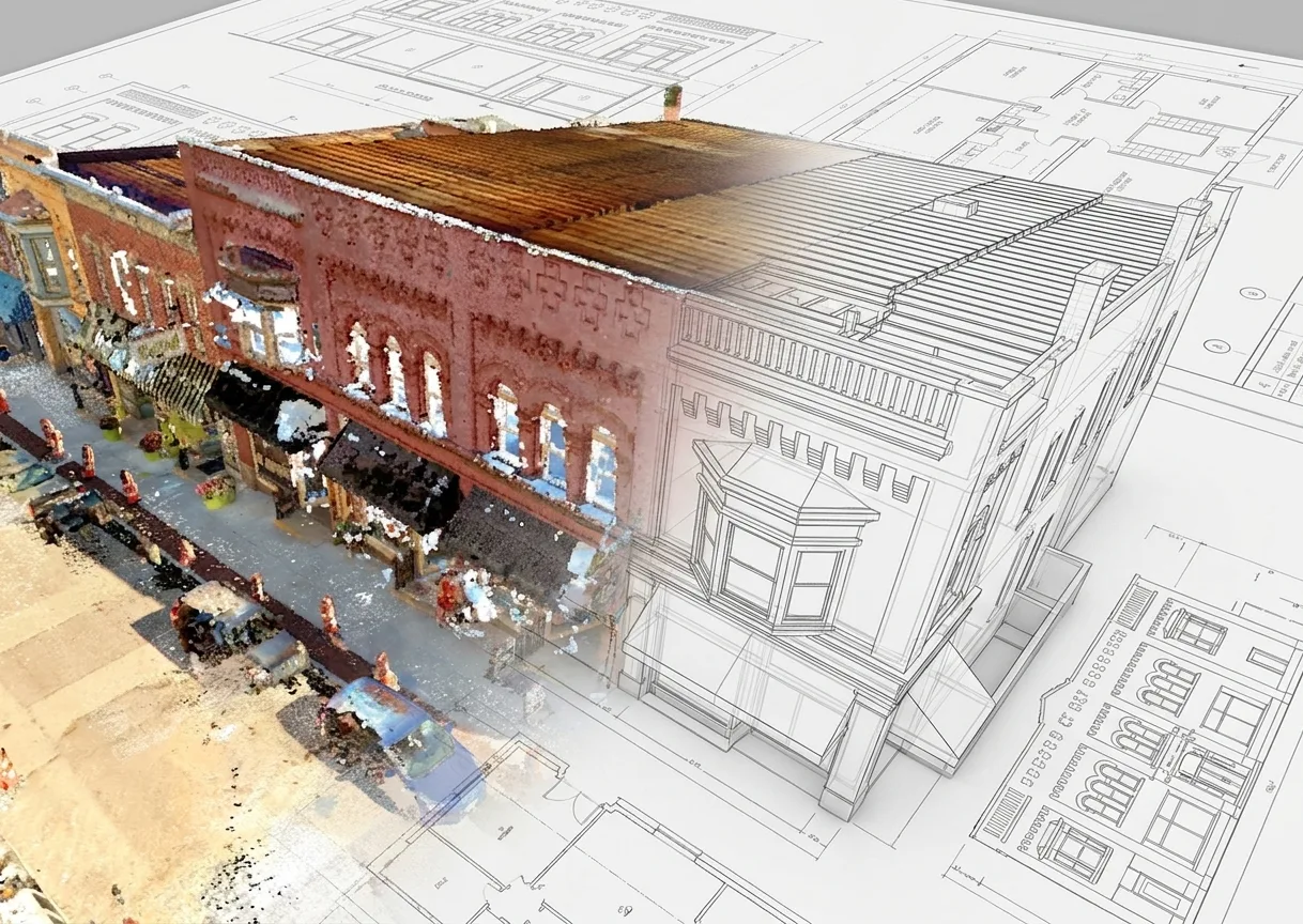
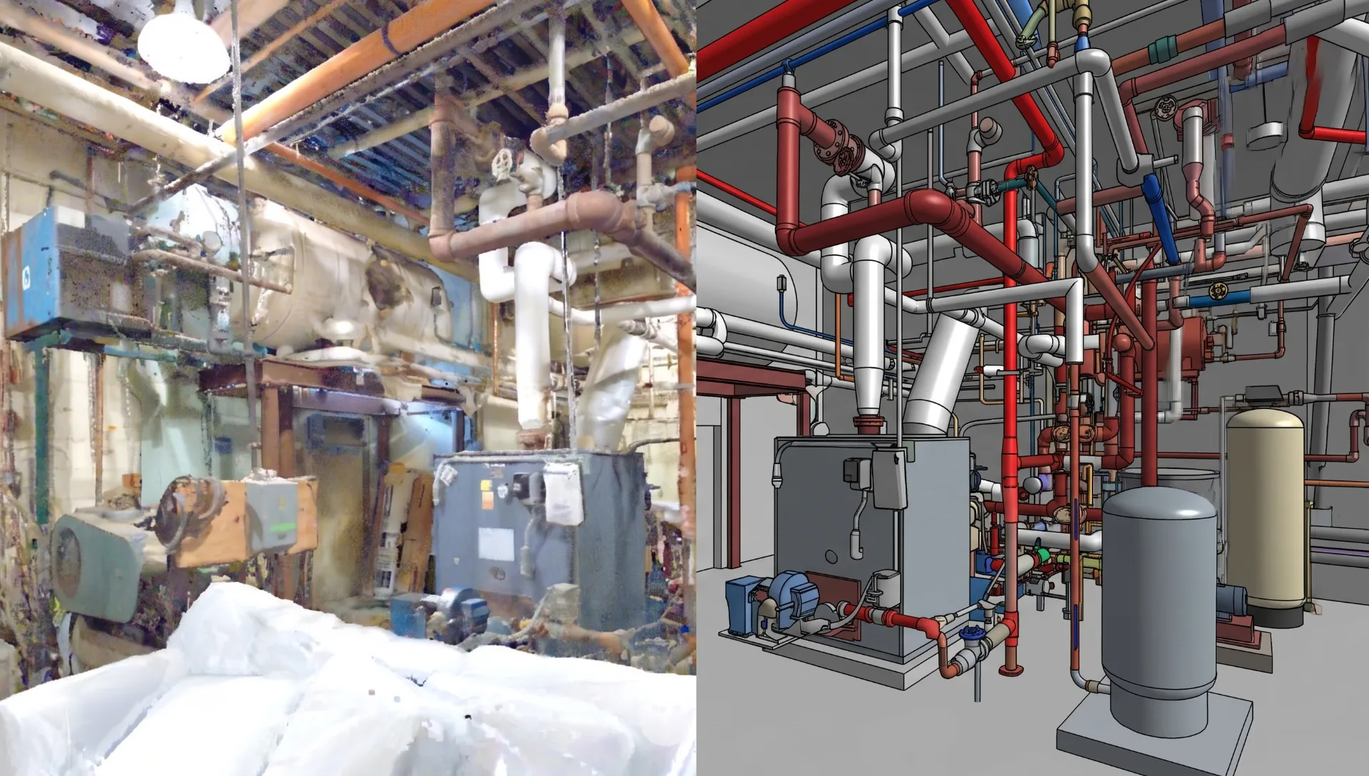
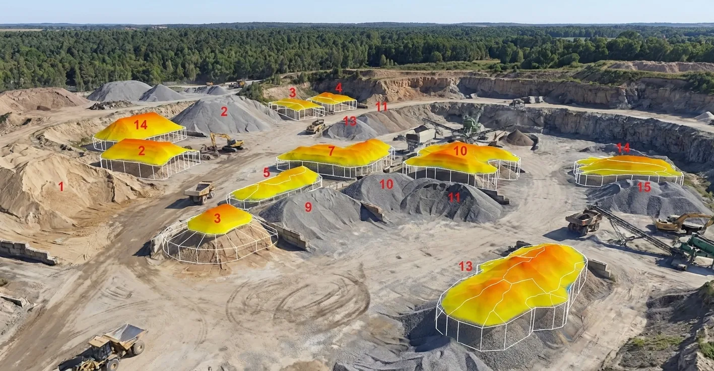
From Site Visit to Deliverable in 3 Simple Steps
No back-and-forth. No surprises. Just accurate data, on time.
STEP 01We Scan Your Site
Our certified technicians arrive on schedule and capture every detail with Leica and NavVis LiDAR — no shutdowns, no disruptions.
STEP 02We Process the Data
Raw scans are registered, cleaned, and quality-checked into a unified, navigable point cloud — accurate to ±5 mm.
STEP 03You Get Usable Deliverables
Revit BIM (LOD 200–400), AutoCAD floor plans, sections, elevations, and 3D models — ready to drop into your workflow.
Built for Teams That Can't Afford to Be Wrong
Eliminate Costly Rework Before It Starts
One missed dimension can blow up a schedule. Our ±5 mm point clouds catch conflicts at design — not in the field — saving weeks of RFIs and change orders.
Get to Design Faster, Not Slower
Skip weeks of manual measuring. We scan most sites in 1–3 days and deliver workable point clouds within 48 hours, so your team starts designing immediately.
Deliverables That Drop Into Your Workflow
Native Revit, AutoCAD, Navisworks, and SolidWorks files — modeled to your standards, organized by your levels, and ready to use the moment they hit your inbox.
What Our Customers Are Saying
"ZEALOT Reality Capture exceeded our expectations with their precision and professionalism. The LOD 300 models they produced were excellent, and the turnaround was incredibly fast."
Charlie Patton
Real Estate Developer
"The team responded quickly and efficiently to our request. They were on-time, clearly communicated with us whenever we had questions and ultimately delivered a great product."
Matthew Roddy
Project Manager
"Working with ZEALOT was a great experience. They were extremely friendly and very responsive. The turnaround time was fantastic and the pricing was extremely reasonable with amazing results."
Nate Mirand
Architect
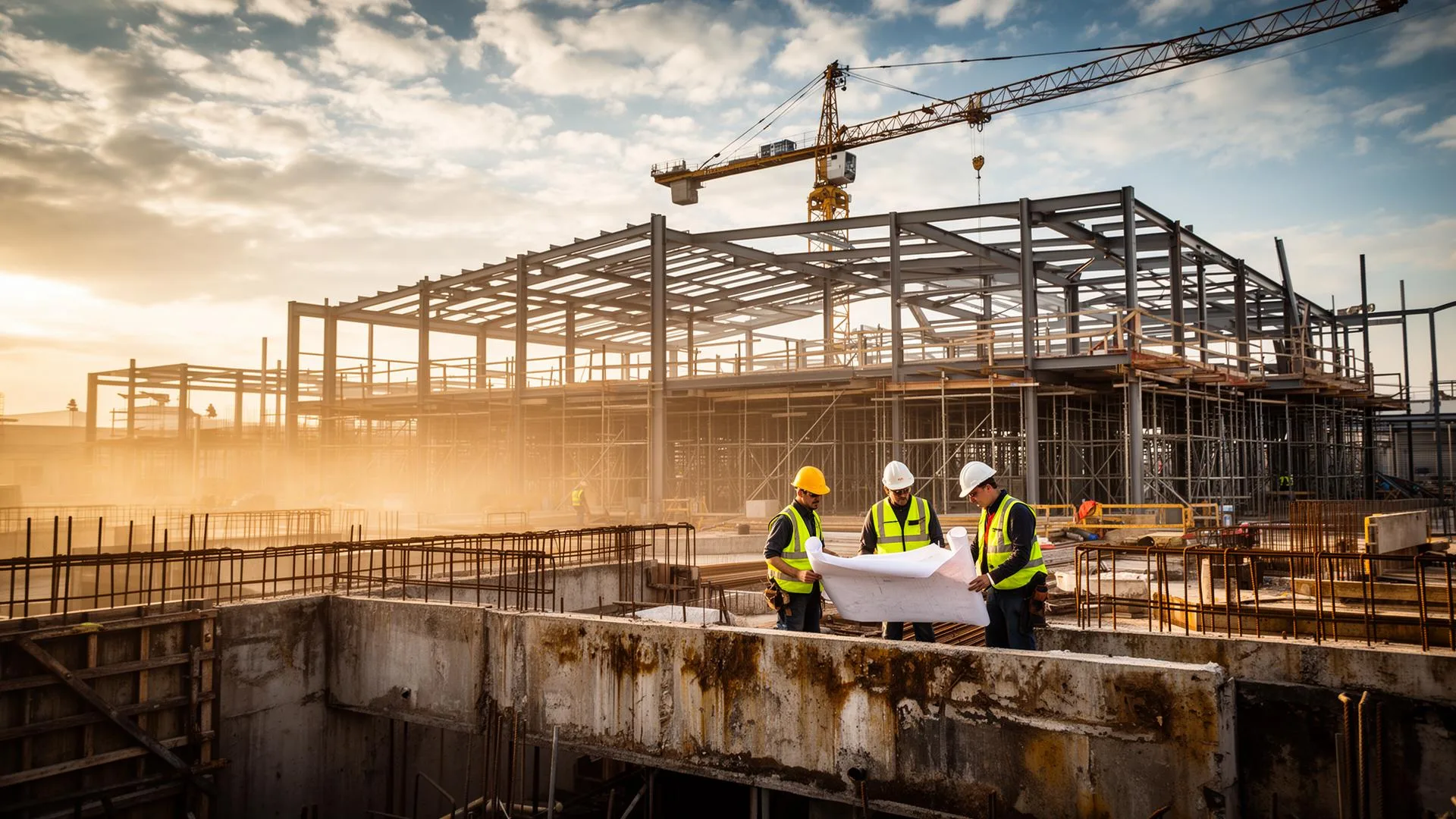
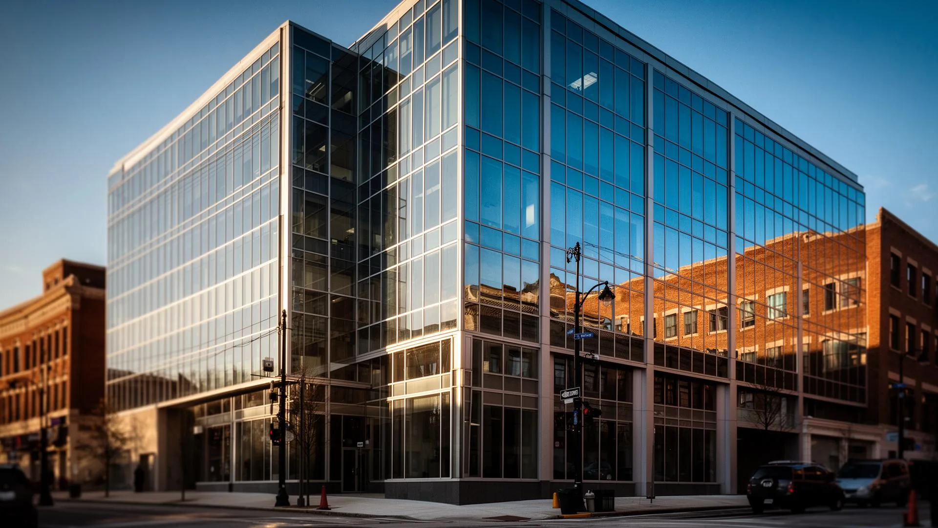
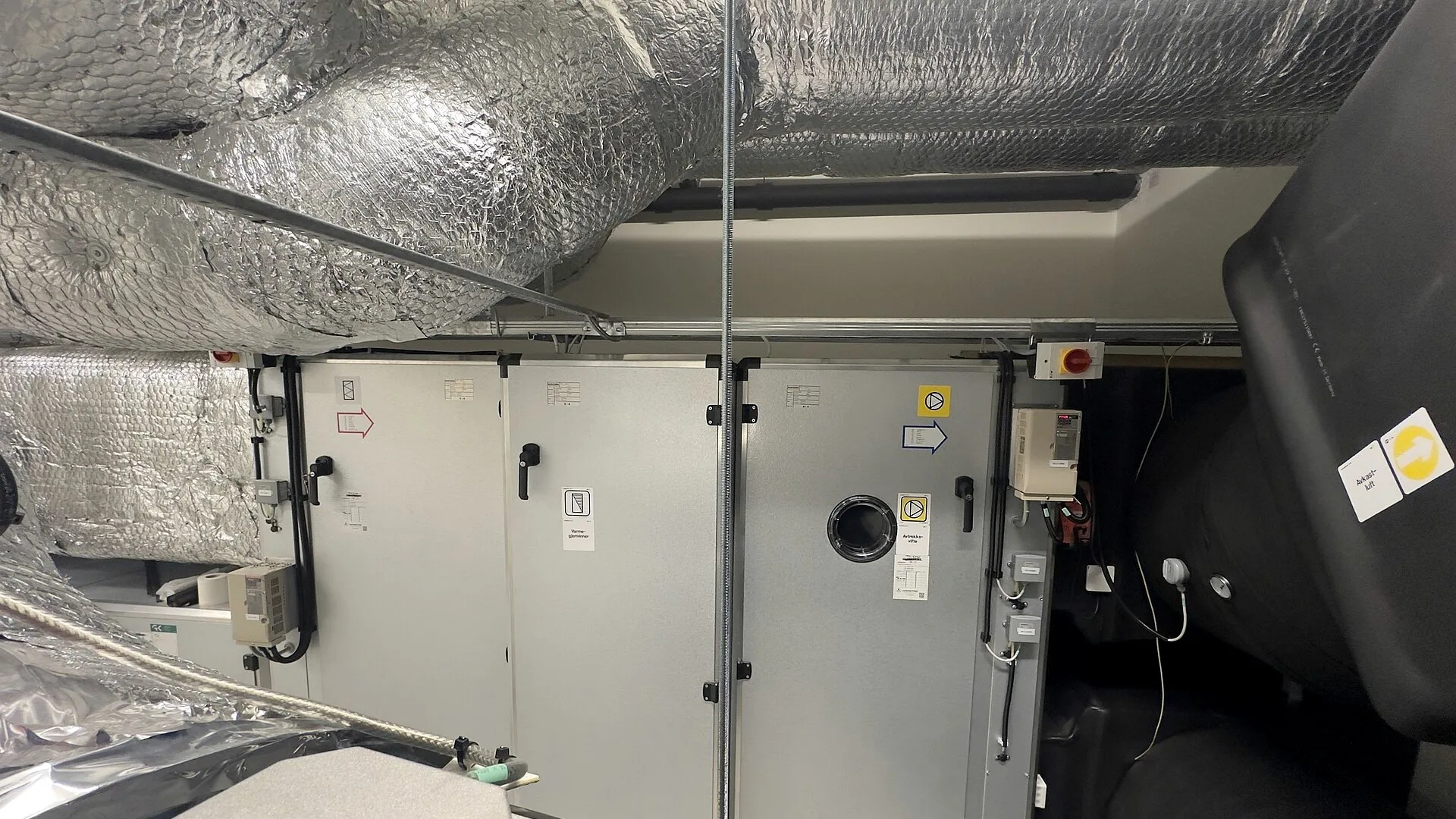
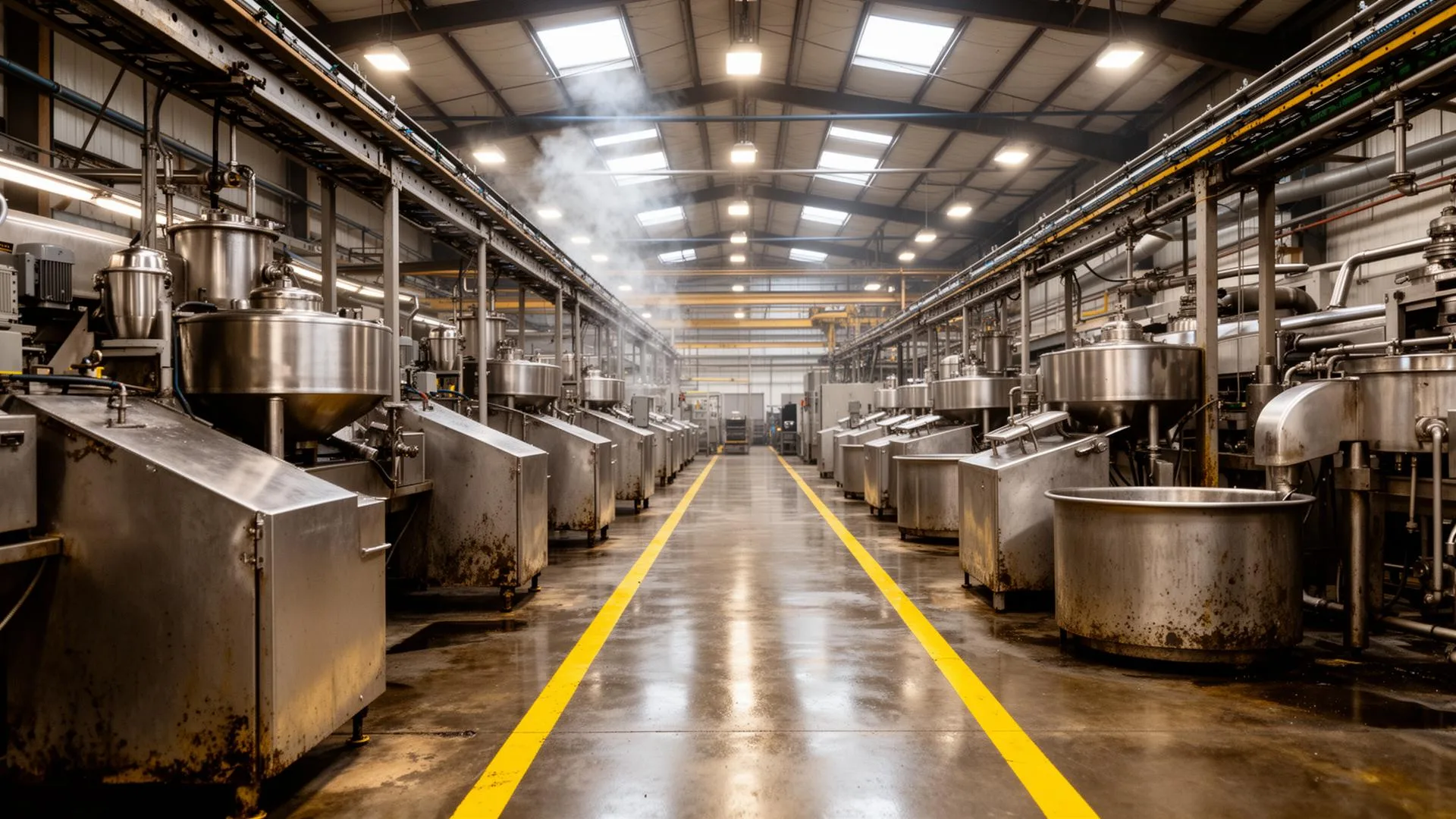
Specialized Scanning for Your Industry
Powered by NavVis VLX3
We use the NavVis VLX3 wearable laser scanner combined with the IVION cloud platform: walking-pace capture, ±5mm accuracy, and browser-based access to every scan.
Survey-Grade Precision
The NavVis VLX3 delivers 5mm local accuracy, ensuring your models meet the most demanding project specifications.
Rapid Data Capture
Walk through spaces at normal pace while capturing over 2.5 million points per second with full 360° coverage.
NavVis IVION Cloud
Access your reality capture data anywhere through the IVION platform with immersive 3D walkthroughs and measurements.
Photorealistic Imagery
Four 20-megapixel cameras capture stunning panoramic images integrated with point cloud data.
Our Capture-to-Delivery Workflow
On-Site Capture
Walk through your facility with VLX3, capturing complete 3D data in a fraction of traditional scanning time.
Cloud Processing
Data is processed and uploaded to NavVis IVION for immediate access and collaboration.
Quality Assurance
Our team reviews all data for completeness and accuracy before modeling begins.
Model Delivery
Receive your deliverables in preferred formats with cloud-based access to source data.
Typical Reality Capture Applications
Frequently Asked Questions
Common questions about our 3D laser scanning services
Professional 3D Laser Scanning Services for AEC Industries
ZEALOT Reality Capture delivers professional 3D laser scanning services for architecture, engineering, and construction projects across the United States. Based in Ohio and serving clients nationwide, we use NavVis VLX3 mobile LiDAR to provide accurate as-built documentation, BIM models, and CAD drawings that keep your projects on track and under budget.
Our 3D laser scanning services utilize the NavVis VLX3 mobile LiDAR scanner, which captures millions of measurement points per second while walking through your building. This technology delivers survey-grade accuracy of ±5mm while completing scans up to 10 times faster than traditional tripod-based methods. The result is comprehensive point cloud data with minimal disruption to your operations.
From commercial office buildings to industrial facilities, hospitals to historic landmarks, our 3D laser scanning services adapt to your specific project requirements. We work with general contractors documenting construction progress, architects capturing existing conditions for renovation design, and facility managers creating comprehensive as-built records. Every project receives our full attention and commitment to precision.
The value of accurate 3D laser scanning extends throughout your project lifecycle. Point cloud data eliminates costly field revisits by capturing complete existing conditions in a single visit. BIM models created from scan data enable effective clash detection before issues become expensive field problems. Precise measurements ensure prefabricated components fit correctly, reducing installation time and rework.
ZEALOT Reality Capture offers a complete range of 3D laser scanning services including building scanning, Scan to BIM modeling, 2D/3D floor plan creation, Scan to CAD drawings, comprehensive as-built documentation, and volumetric stockpile scanning. Our team handles projects from initial consultation through final deliverable, providing personalized service at every stage. Contact us today for a free consultation and discover how 3D laser scanning services can benefit your next project.
Get an Accurate As-Built Without the Headaches.
Send us your site address, scope, or floor plan. We'll send back a fixed-price quote within 24 hours — and a sample of what your deliverable will look like.