A Dedicated 3D Laser Scanning Team You Can Reach Directly
ZEALOT Reality Capture is an Ohio-based 3D laser scanning company delivering survey-grade point clouds, Revit BIM, and CAD as-builts to architects, engineers, and contractors nationwide. No call centers. No hand-offs. Just precise data, on time.
Accurate As-Builts. Honest Pricing. Zero Guesswork.
Founded in 2023, ZEALOT Reality Capture was built on a simple belief: accurate 3D data shouldn't be reserved for the largest firms. We bridge the physical and digital worlds so designers, builders, and owners can make confident decisions from day one.
Every project gets the attention of a senior technician — from the first walk-through to the final deliverable. That's how we earn long-term clients.
From Site Capture to Deliverable — In Four Steps
A streamlined workflow that turns existing buildings, sites, and infrastructure into accurate digital assets your team can build from.
Consult
We listen to your goals, scope, and deliverable requirements.
Scan On-Site
Our technicians capture millions of measurements with LiDAR.
Process Data
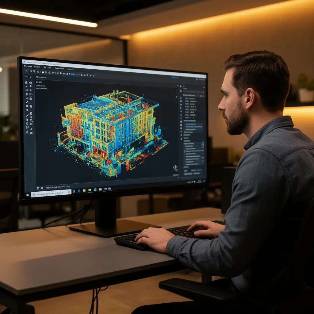
Registered, cleaned, and georeferenced point clouds.
Deliver
Revit BIM, CAD, floor plans, and digital twins ready to use.
What Drives Us Forward
Precision
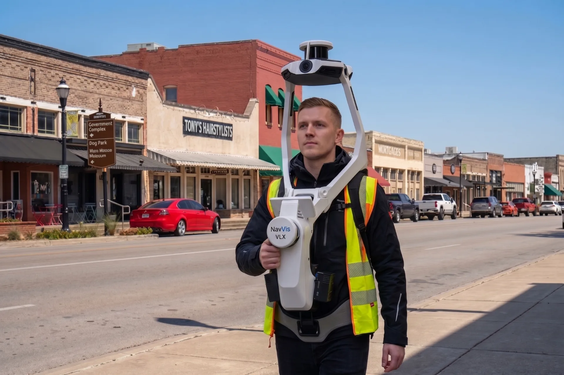
NavVis VLX3 and Leica RTC360 capture, registered to control, delivering ±5mm data you can verify.
Collaboration
We work closely with each client to understand their unique needs and deliver tailored solutions.
Commitment
As a growing company, we're driven to prove ourselves and exceed expectations on every project.
Reliability
We take pride in meeting deadlines and delivering quality results, no matter the project size.
Senior Technicians on Every Project
Our team combines hands-on field experience with deep expertise in Revit, AutoCAD, and point cloud processing. We run Leica RTC360, NavVis VLX3, and drone-based LiDAR — and continuous training keeps the field work sharp.
As a growing, owner-led company, you'll talk directly to the people doing the work. That means faster answers, flexible scheduling, and accountability you don't get from large national firms.
See Our Equipment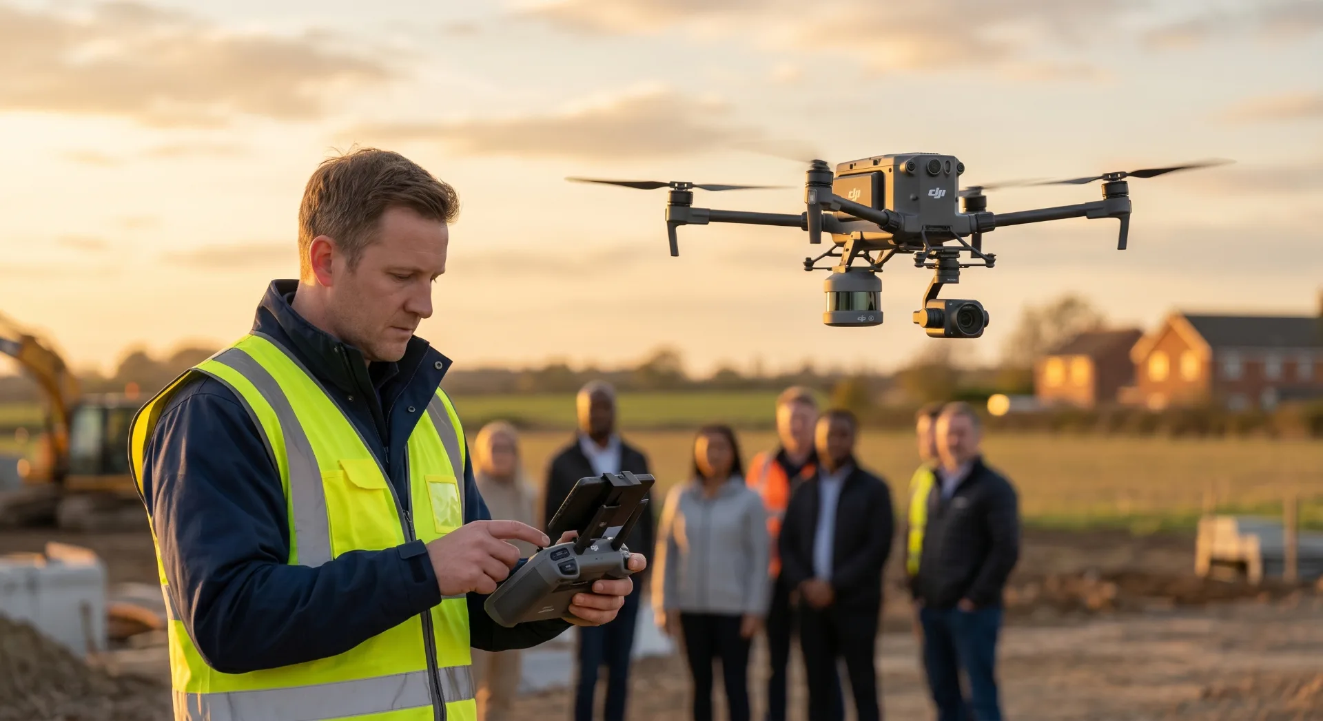
Powered by NavVis VLX3
We use the NavVis VLX3 wearable laser scanner combined with the IVION cloud platform: walking-pace capture, ±5mm accuracy, and browser-based access to every scan.
Survey-Grade Precision
The NavVis VLX3 delivers 5mm local accuracy, ensuring your models meet the most demanding project specifications.
Rapid Data Capture
Walk through spaces at normal pace while capturing over 2.5 million points per second with full 360° coverage.
NavVis IVION Cloud
Access your reality capture data anywhere through the IVION platform with immersive 3D walkthroughs and measurements.
Photorealistic Imagery
Four 20-megapixel cameras capture stunning panoramic images integrated with point cloud data.
Our Capture-to-Delivery Workflow
On-Site Capture
Walk through your facility with VLX3, capturing complete 3D data in a fraction of traditional scanning time.
Cloud Processing
Data is processed and uploaded to NavVis IVION for immediate access and collaboration.
Quality Assurance
Our team reviews all data for completeness and accuracy before modeling begins.
Model Delivery
Receive your deliverables in preferred formats with cloud-based access to source data.
Ready to See What Accurate As-Builts Can Do?
Get a free, no-pressure quote. Tell us about your site and we'll respond within one business day with a clear scope, timeline, and price.
Frequently Asked Questions
Common questions about our 3D laser scanning company
Your Trusted 3D Laser Scanning Company Partner
ZEALOT Reality Capture is a dedicated 3D laser scanning company founded in 2023 with a mission to make accurate, accessible 3D documentation available to businesses of all sizes. Based in Ohio and serving clients nationwide, we specialize in reality capture and BIM services for architecture, engineering, and construction industries. Our focused expertise means every client receives the attention and dedication that larger firms often cannot provide.
Our NavVis VLX3 mobile LiDAR scanner captures at walking pace with survey-grade ±5mm accuracy — typically 80,000–120,000 sq ft per field day. That combination of speed and verifiable accuracy is what our clients are actually buying, and it is why we standardized the fleet on it.
What distinguishes our 3D laser scanning company is our personalized approach to every project. We understand that each building and each client has unique requirements. Our team takes time to understand your specific needs, recommend appropriate solutions, and deliver exactly what your project demands. This collaborative approach builds lasting relationships with clients who value both technical excellence and responsive service.
Our 3D laser scanning company team brings hands-on experience with modern scanning technology and BIM software. We maintain current training certifications and follow industry best practices for data capture, processing, and modeling. Continuous professional development ensures we stay current with evolving technology and standards. When you work with ZEALOT, you benefit from technical expertise combined with genuine dedication to your success.
Whether you need comprehensive building documentation, accurate BIM models, or precise CAD drawings, our 3D laser scanning company delivers quality results on schedule. We serve clients from coast to coast, traveling to project sites throughout the United States. Free consultations help you understand how 3D laser scanning can benefit your specific project, with no obligation. Contact ZEALOT Reality Capture today to discuss your scanning needs with a team that truly cares about your project's success.
Stay Updated
Subscribe to our newsletter for the latest insights on 3D scanning technology, industry trends, and project highlights.
No spam, unsubscribe anytime. We respect your privacy.