Professional Building 3D Laser Scanning
Capture your entire building in a single visit — and walk away with a millimeter-accurate 3D record you can use for design, renovation, or facility management.
TL;DR: We scan 80,000–120,000 sq ft per field day at ±5mm registered accuracy with NavVis VLX3 mobile LiDAR, and deliver a registered point cloud in E57/RCP within 3–5 business days. Most commercial buildings are captured in a single visit.
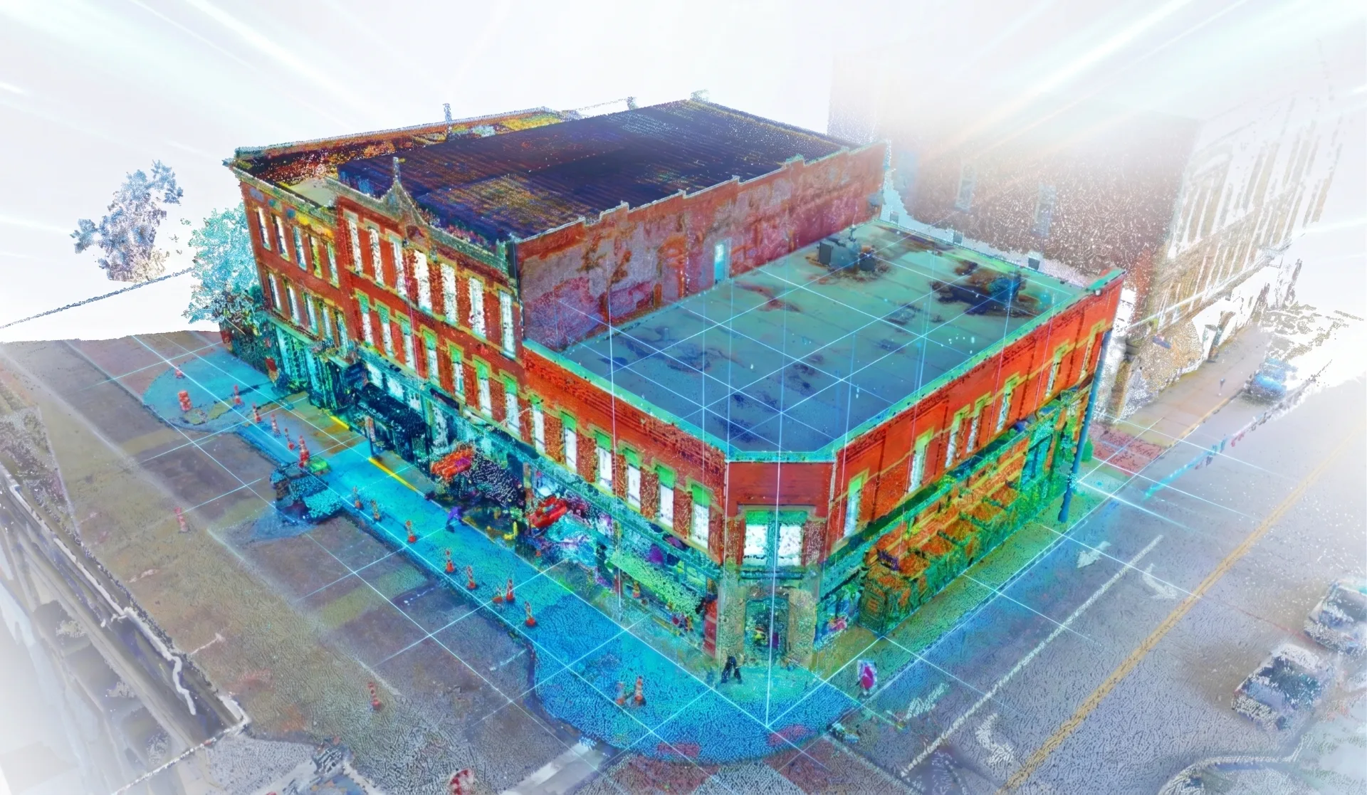
Building 3D Laser Scanning, explained simply
We bring survey-grade LiDAR scanners on-site and capture millions of measurement points per second. The result is a fully navigable 3D point cloud of your building — every wall, beam, pipe, and fixture, exactly as it exists today.
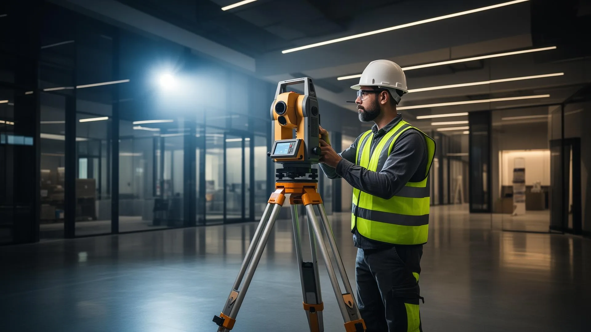
±5mm accuracy, NavVis VLX3 mobile LiDAR
Real impact on AEC project outcomes
Eliminate costly field revisits
Reduce design errors and change orders
Accelerate project timelines
Create permanent digital records
Enable remote collaboration
Support sustainable renovation practices
From kickoff to delivery in 4 clear steps
Consultation
We discuss your project needs and develop a custom scanning plan.
On-Site Scanning
Our technicians capture comprehensive 3D data of your facility.
Processing
Point cloud data is registered, cleaned, and prepared for delivery.
Delivery
Receive your data in your preferred format with full documentation.
Built for teams that can't afford guesswork
- Architects designing renovations or additions
- GCs verifying field conditions before construction
- Facility managers building digital twins
- Engineers retrofitting MEP or structural systems
- Owners documenting assets for insurance or sale
Stop losing time and money to bad data
- ✗Outdated or missing as-built drawings
- ✗Costly return trips for missed field measurements
- ✗Design errors discovered during construction
- ✗Disputes over existing conditions and scope
- ✗Manual measuring that takes weeks, not days
Specific deliverables, in formats your team already uses
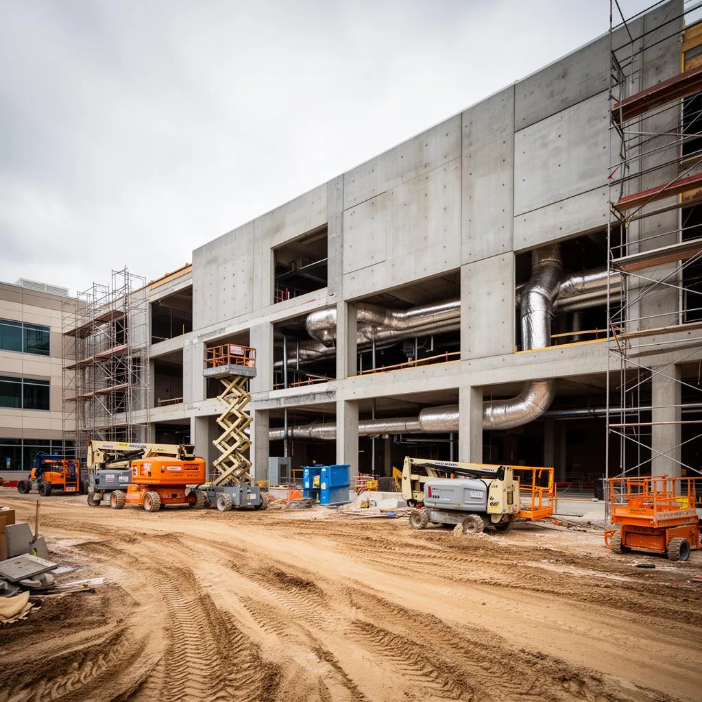
120,000 sq ft hospital wing — captured in 2 days
An Ohio architect needed accurate as-builts of a 1980s hospital wing for a major renovation. Original drawings were missing and the space couldn't shut down.
Our team scanned the entire wing during off-hours over 2 nights. The architect received a registered point cloud + Revit model in under 3 weeks — eliminating an estimated 6 weeks of field measurement work.
Building 3D Laser Scanning FAQ
Common questions about our building 3D laser scanning services
Industries We Serve
See how building 3D laser scanning benefits different industries
Complete Guide to Building 3D Laser Scanning
Building 3D laser scanning has revolutionized how architects, engineers, and construction professionals document existing structures. Using advanced LiDAR technology, building 3D laser scanning captures millions of precise measurement points to create comprehensive digital representations of physical spaces. This technology eliminates the limitations of traditional tape measurements and provides data accuracy that manual methods simply cannot match.
At ZEALOT Reality Capture, our building 3D laser scanning services utilize the NavVis VLX3 mobile LiDAR scanner to deliver survey-grade accuracy of ±5mm. This precision ensures that every wall, column, door, and architectural detail is captured exactly as it exists. The resulting point cloud data serves as an unimpeachable baseline for renovation design, construction planning, and facility management applications.
The efficiency of modern building 3D laser scanning dramatically reduces documentation time compared to conventional measurement methods. Our mobile scanning technology captures complete building interiors while walking through spaces at normal speed, completing most commercial buildings in a single day. This efficiency translates to lower costs for clients and minimal disruption to occupied spaces and ongoing operations.
Building 3D laser scanning data integrates seamlessly with industry-standard software platforms. Point clouds can be imported directly into Revit, AutoCAD, SketchUp, and other design applications. Our team can also convert scan data into intelligent BIM models, 2D floor plans, sections, and elevations—providing exactly the deliverables your project requires.
Whether you need building 3D laser scanning for a renovation project, facility documentation, or construction verification, ZEALOT Reality Capture delivers accurate data with exceptional service. Our Ohio-based team travels nationwide to capture buildings of all types and sizes. Contact us today for a free consultation and discover how building 3D laser scanning can benefit your next project.